Posted on : May.8,2019 17:38 KST
 |
|
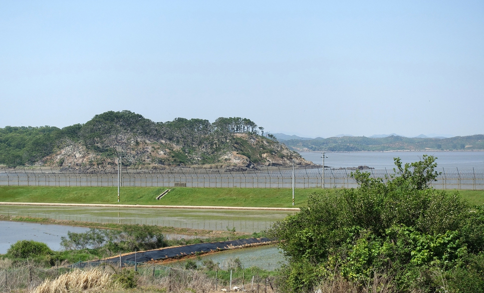
A fence of barbed wire along the DMZ near Gimpo, Gyeonggi Province, where the city is planning on building a “peace trail” for tourists
|
Inter-Korean agreement dictates converting symbol of division and war into one of peace
The cities of Gimpo and Paju in Gyeonggi Province are taking steps to build a “DMZ peace trail” that would take advantage of the tourist potential of the heavily fortified border alongside the DMZ, including a trail lined by barbed-wire fence at Odusan Unification Observatory.
Gimpo officials said on May 7 that Jung Ha-young, Gimpo’s mayor, had asked for the construction of the Gimpo section of a DMZ trail to be accelerated during a meeting on May 3 with Song Yong-seop, the head of a team at South Korea’s Ministry of Defense that is surveying potential sites for the trail.
“There are no minefields in Gimpo, nor is it necessary to erect a safety fence. It wouldn’t cost much money, either, since neighborhood centers could be used as trailheads, and only signposts would need to be set up,” Jung said.
 |
|
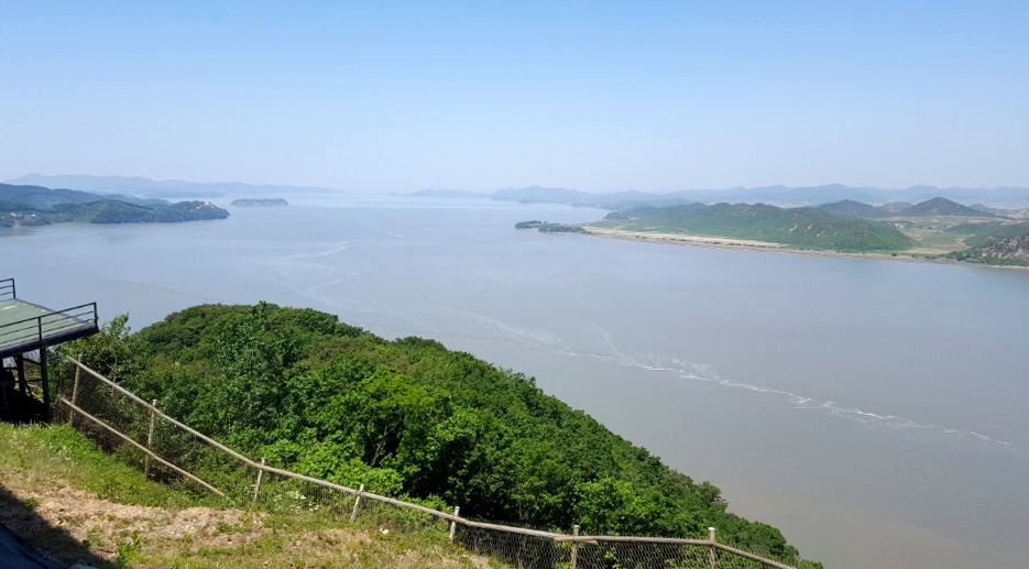
A view of the Han River estuary as seen from the Aegi Peak observatory near the DMZ.
|
Song said he would be in contact with military units and work to speed up the construction of the trail.
The Gimpo section of the DMZ trail is likely to consist of a 25km course passing through Mt. Munsu, Aegi Peak, Siam Village, and Jeollyu Village. Running alongside the estuary of the Han River, which is part of the border with North Korea, this course is extremely close to the North and includes quite a few areas that are off-limits to civilians.
The South Korean government is currently working to create a “DMZ peace trail” from Goseong, Gangwon Province, to Ganghwa Island, Gyeonggi Province, to give civilians a taste of peace and security. In accordance with the inter-Korean military agreement signed on Sept. 19, 2018, efforts are underway to ease tensions by shutting down guard posts and recovering the remains of soldiers. Three areas where these efforts are occurring – Goseong in the east, Cheorwon County in the central region, and Paju in the west – have been selected for the initial phase of the trail, the trail in Goseong opening on a trial basis at the end of April.
 |
|
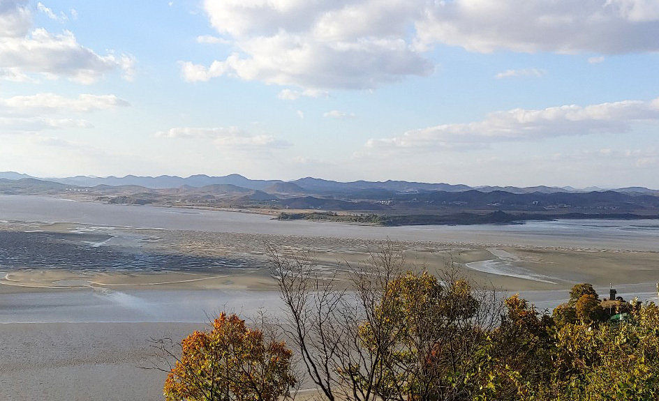
A view of where the Han River meets the Imjin River from Odusan Unification Observatory in Paju, Gyeonggi Province
|
In a related development, Paju is planning to turn a stretch of barbed-wire fencing near Odusan Unification Observatory into a tourist destination by building a 1.7km trail along the fence and opening it to the public. On May 2, Choi Jong-hwan, mayor of Paju, and Ahn Byeong-seok, head of the South Korean Army’s 9th Infantry Division, attended a ceremony at the tower where they signed an agreement to open up a trail in the area.
Odusan Unification Observatory is a security site that gives tourists a panoramic view of the confluence of the Han River and the Imjin River, before they empty into the Yellow Sea, as well as the natural vistas, villages, and people of North Korea’s Hwanghae Province. Since the tower was opened in 1992, it has brought in some 20 million visitors.
Before opening the trail behind the barbed wire, Paju and the 9th Infantry Division are planning to beef up military surveillance, including security cameras, in light of the area’s security situation.
“Mt. Odu [Odusan] is a historical site where the ancient kingdoms of Goguryeo and Baekje once clashed, and where South and North Korea face off today. We will actively support efforts to enable citizens to experience this for themselves as they walk along the barbed-wire fence,” Choi said.
By Park Kyung-man, North Gyeonggi correspondent
Please direct comments or questions to [english@hani.co.kr]