Posted on : Jun.5,2019 17:09 KST
 |
|
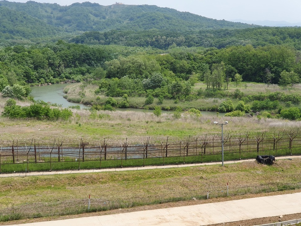
A view of Yeokgok Stream in the Cheorwon section of the DMZ Peace Trail. (Chae Yoon-tae, staff reporter)
|
Otters and red-crowned cranes thrive amid background spotted by military guard posts
Yeokgok Stream winds back and forth through a divided South and North Korea. Along the path, a long barbed wire fence to the north blocked people from traveling farther; here and there, spots of forest remained untouched for over six decades. The landscape on both sides was green as seen from the Cheorwon stretch of the DMZ Peace Trail in Gangwon Province on the afternoon of June 4.
“From here, it’s common to see otters catching fish in the stream and place them on rocks and red-crowned cranes flying over to hunt fish,” said a DMZ Peace Trail official. Kim Mi-sook, a guide for the trail, added, “Seven of 15 crane species are believed to have a population of around 1,500 living in the DMZ. It’s a crane habitat like no other in the world.” No cranes or otters were visible on that day.
 |
|
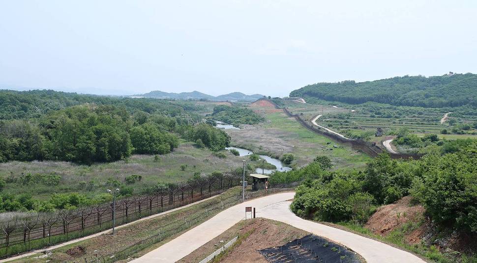
A view of the Cheorwon section of the DMZ Peace Trail. (provided by the Ministry of the Interior and Safety)
|
On June 1, the Cheorwon section of the Peace Trail became the second course opened to the public by the government, following another in Goseong last April. Stretching for 15km in total, the section leads from White Horse Hill – site of some of the most intense combat of the Korean War – to Peacock Ridge and the Arrowhead (Hwasalmeori) Hill guard post. Unlike the Goseong course, this one allows visitors to see the guard post within the DMZ. To get there, visitors can travel by bus for two-and-a-half hours from Gwanghwamun in Seoul, making the remaining hour-long journey from Cheorwon by minibus and on foot.
Although it is a “Peace Trail,” Korea’s division is a stark reality there. To the north across the Military Demarcation Line (MDL), a North Korean forward surveillance post can be seen with its red flag billowing. South and North Korean guard posts can be easily spotted amid the lush primeval forest. The triple fence of the Civilian Control Line and Southern Limit Line that we crossed to reach the Arrowhead Hill guard post in the DMZ, as well as the MDL and Northern Limit Line visible in front, are reminders of how formidable the barriers are that remain to be cleared despite the two sides’ geographic proximity. Frustrated visitors who try to take pictures of the landscape are told by military officials everywhere that the site is a “military installation” and that “photography is prohibited.” For now, the landscape can only be captured by the eye.
 |
|
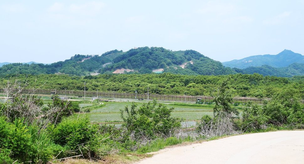
A view of the Cheorwon section of the DMZ Peace Trail. (provided by the Ministry of the Interior and Safety)
|
This also makes the trail that much more invaluable in ecological and historical terms. It’s the reason so many people choose to visit. Competition for slots is intense, as visits are only available to two groups of 20 people each five days a week for safety, security, and ecological preservation reasons. The Goseong course has averaged a competitiveness ratio of 16-to-one since April; in the past eight days, the average for the Cheorwon course has been 18.5-to-one. Applications may be submitted through the Korea Tourism Organization (KTO) walking tour website Durunubi (www.durunubi.kr) and the Ministry of the Interior and Safety DMZ integrated information system (www.dmz.go.kr). Participants are chosen by random drawing.
By Chai Yoon-tae, staff reporter
Please direct comments or questions to [english@hani.co.kr]